Share what you know,
and discover more.
Share what you know,
and discover more.
Jun 01, 1820


380 Randolph Avenue, Saint Paul, MN, USA
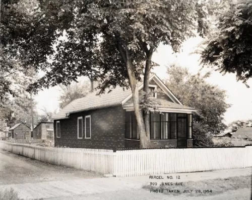
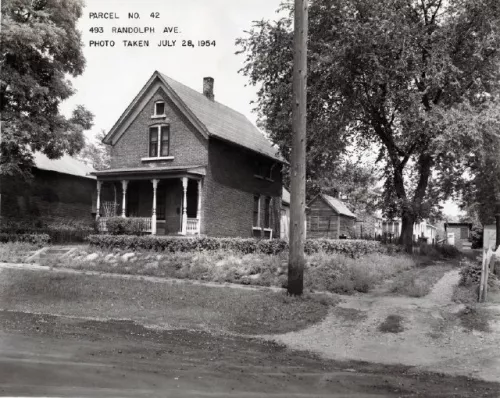
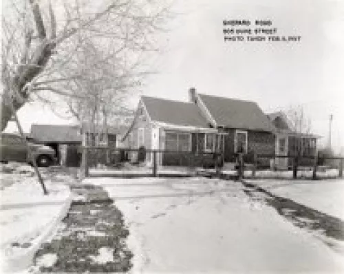
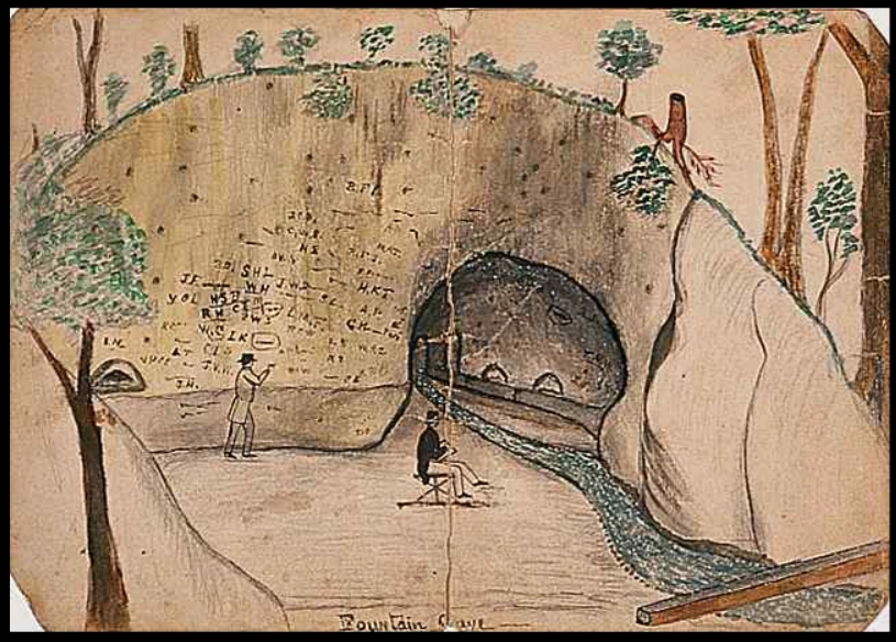
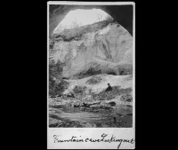
Fountain Cave Historic Marker By Jim Sazevich For a time in the 1820s and ’30s, settlers from a Swiss colony at Fort Garry (Winnipeg), along with a mixed group of Dakota, Métis and French Canadians, were allowed to use lands adjacent to Fort Snelling. When their use of fuel and forage conflicted with the needs of Fort Snelling, they were expelled and first settled at Fountain Cave three miles downriver near what is now Randolph Avenue. A second expulsion pushed the mixed group of settlers, whiskey sellers, and ex-soldiers to begin to build around the area of the Upper Landing three miles further downstream. This settlement became the core of Saint Paul and the West End neighborhood. In the 1840s this group expanded, and with the arrival of a wave of Eastern settlers later in the decade, the growth of Saint Paul began in earnest. Cite this Page Jim Sazevich, “Fountain Cave Historic Marker,” Saint Paul Historical, accessed July 5, 2022, https://saintpaulhistorical.com/items/show/44.
380 Randolph Avenue, Saint Paul, MN, USA
Fountain Cave Historic Marker By Jim Sazevich For a time in the 1820s and ’30s, settlers from a Swiss colony at Fort Garry (Winnipeg), along with a mixed group of Dakota, Métis and French Canadians, were allowed to use lands adjacent to Fort Snelling. When their use of fuel and forage conflicted with the needs of Fort Snelling, they were expelled and first settled at Fountain Cave three miles downriver near what is now Randolph Avenue. A second expulsion pushed the mixed group of settlers, whiskey sellers, and ex-soldiers to begin to build around the area of the Upper Landing three miles further downstream. This settlement became the core of Saint Paul and the West End neighborhood. In the 1840s this group expanded, and with the arrival of a wave of Eastern settlers later in the decade, the growth of Saint Paul began in earnest. Cite this Page Jim Sazevich, “Fountain Cave Historic Marker,” Saint Paul Historical, accessed July 5, 2022, https://saintpaulhistorical.com/items/show/44.
Jun 01, 1820


Posted Date
Jul 05, 2022
Historical Record Date
Jun 01, 1820
Source Name
Saint Paul Historical